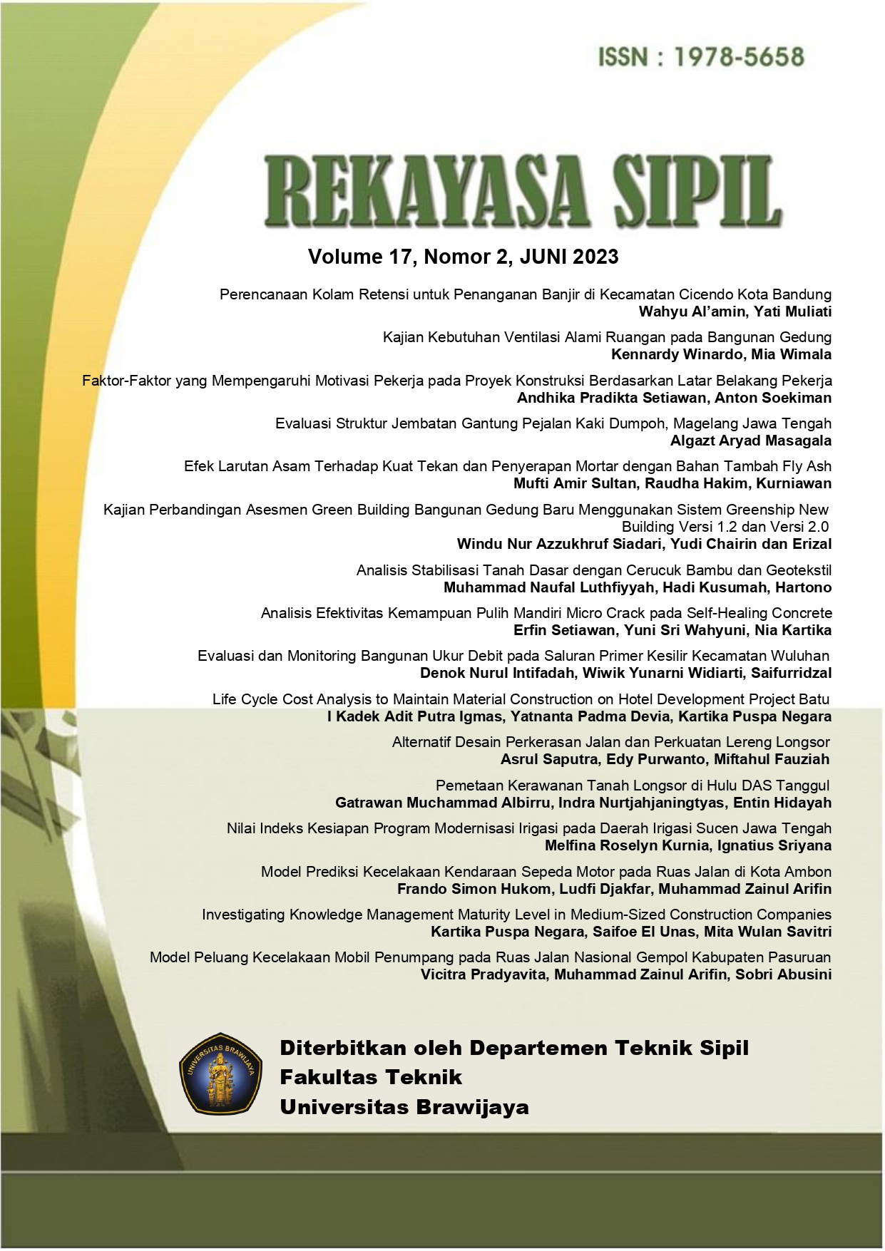
Pemetaan Kerawanan Tanah Longsor di Hulu DAS Tanggul
DOI:
https://doi.org/10.21776/ub.rekayasasipil.2023.017.02.12Abstract
Landslides are one of the natural disasters that often occur in the Upper Tanggul Watershed. This study aims to produce a landslide susceptibility map based on the Geographic Information System (GIS). Seven landslides conditioning factors used, namely land cover, river density, slope, aspect, elevation, curvature and Normalized Difference Vegetation Index (NDVI). Landslide susceptibility areas were mapped using the frequency ratio and weights-of-evidence methods. The accuracy of the landslide susceptibility maps generated from both methods is validated using the Area Under Curve (AUC). The estimation results of the AUC plot show that the susceptibility map using the frequency ratio model has an accuracy of 92,6% and the weights-of-evidence method has an accuracy of 90,1%.Downloads
Published
2023-05-03
How to Cite
Nurtjahjaningtyas, I., Muchammad Albirru, G. ., & Hidayah, E. (2023). Pemetaan Kerawanan Tanah Longsor di Hulu DAS Tanggul. Rekayasa Sipil, 17(2), 199–210. https://doi.org/10.21776/ub.rekayasasipil.2023.017.02.12
Issue
Section
Articles
License
Copyright (c) 2023 Rekayasa Sipil

This work is licensed under a Creative Commons Attribution-NonCommercial 4.0 International License.

This journal is licensed under a Creative Commons Attribution 4.0 International License


